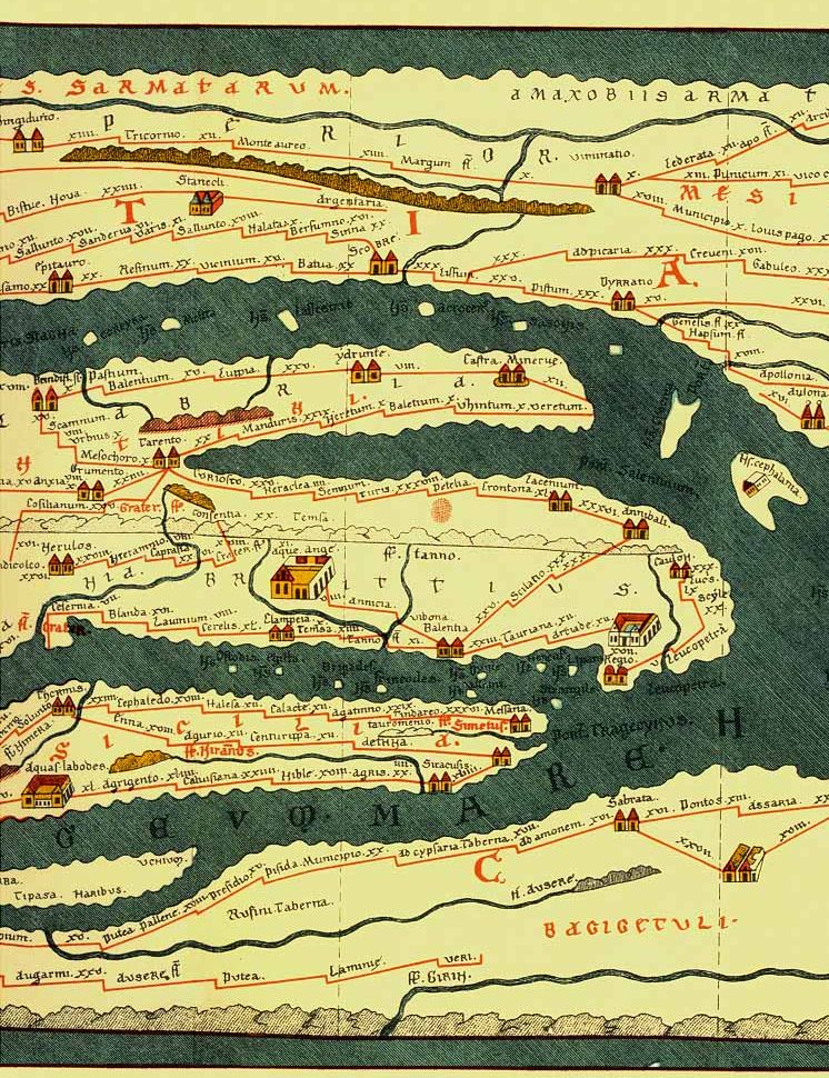
4th century Romans travelling to foreign countries had accurate road maps of the Roman Empire. One of those Roman road maps has been preserved and today is known as "Tabula Peutingeriana" (Latin for "The Peutinger Map", from one of its former owners, Konrad Peutinger, a 16th-century German humanist and antiquarian in Augsburg). The map resembles modern bus or subway maps and shows all major settlements and the distances between them, a feature which makes it a predecessor of modern navigation systems. The Peutinger Map is an illustrated itinerarium (ancient Roman road map) showing the layout of the cursus publicus, the road network of the Roman Empire. The map is a 13th-century parchment copy of a (possible) Roman original and is now conserved at the Austrian National Library in Vienna. It covers Europe (without the Iberian Peninsula and the British Isles), North Africa, and parts of Asia, including the Middle East, Persia, and India. Project Page
Tabula Peutingeriana, 1-4th century CE. Facsimile edition by Konrad Miller, 1887/1888